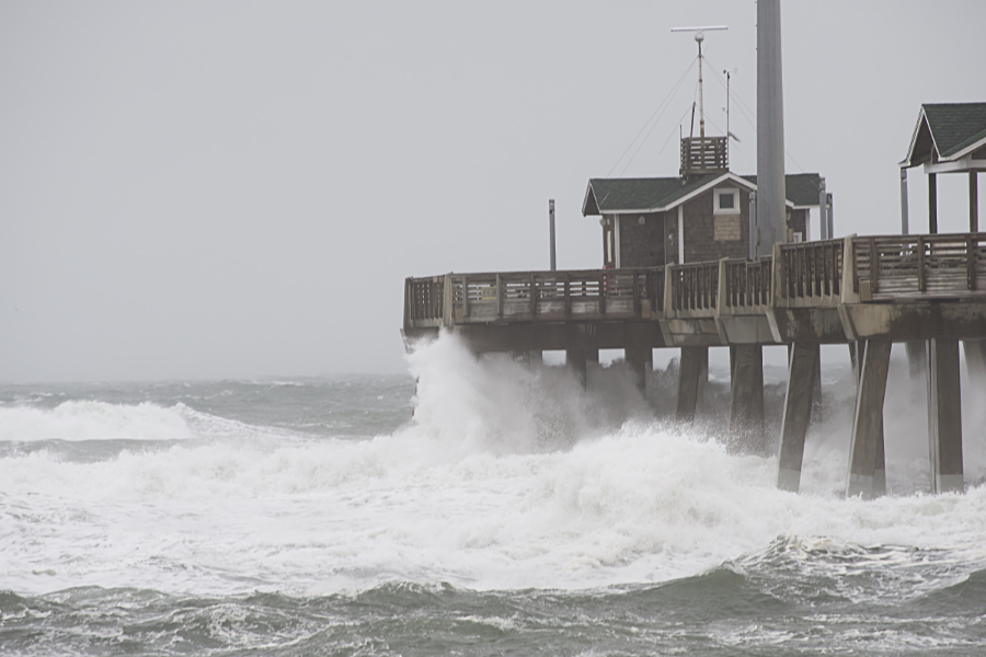
We’re stuck with some pretty interesting weather for the next few days here on the Outer Banks. There’s a low pressure system parked, as in it’s not going anywhere, for the next three days, and the wind and surf are really stirred up.
Saturday was a really nice day, right up until that low moved through, and then things went downhill pretty quickly after that, and right now, minus the rain, we’re experiencing a classic nor’easter. They're rare in May, but do occur occassionally.
To be sure, it did rain, and rain hard as the system moved offshore, and rained off and on all day during the day today (Sunday), but after that, it’s just been wind and a very stirred up Atlantic Ocean.
We’re under a coastal flood warning—meaning there will be ocean overwash—through Thursday morning, which is the last high tide cycle for the period. What is different about this warning from quite a number of others, is that even during low tide, the ocean is very close to flood stage.
To their credit, NCDOT has been doing an amazing job of keeping the roads open, especially on Hatteras Island, nonetheless, it’s almost a sure bet that sometime over the next few days, there will be a breach of the dunes at the S Curves and Hatteras Island will be isolated for a few days.
The Jug Handle Bridge, which will bypass that area, is due to open soon. Speaking as a resident of the Outer Banks, it can’t open soon enough.
Ocracoke is pretty much isolated at this point in time. Although the road from the Hatteras Ferry Dock seems to be holding up pretty well, high winds and dangerous seas prevent any ferry from running.
This system will pass though, and when it does, the sun will come out, and once again we’ll all able to truly appreciated the Outer Banks. Come see for yourself why we love it here and plan your stay in a Brindley Beach Vacations home.

