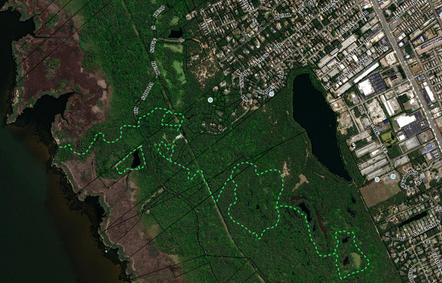
There’s something for everyone on the Dare County GiS page. Want to know the value of a property and its deed history? It’s there. Planning on hunting and won’t to know about duck blinds? They have that tool. Curious about Dare County history? Lots of that.
And there’s more…lots more. Maps of hiking trails and recreational opportunities. Beaches, access.
And maybe most incredible, they do it all in-house, with software they’ve written for themselves.
Once upon a time there were cartographers, map specialists, who took the information of the day and created maps. Sometimes they got it right, sometimes mostly right, and sometimes they saw earth as a massive flat plain in the center of the universe.
Where GIS (Geographic Information System) is now, is a far cry from that map of a flat earth, or any paper map. A quick trip through the pages of the Dare County GIS site gives a glimpse of just how far the technology has come.
A recent article in the Outer Banks Voice explained that the Dare County GIS started back in 1995 as a way to give better service to the residents of a geographically awkward county. The hope was that by putting property parcels online with deed information, folks in Hatters wouldn’t have to drive to Manteo to do a deed search.
It’s probably hard to prove, but there’s a good possibility that Dare County was the first county in the state to put a GIS map online.
There’s some pretty cools stuff to check out on the site.
The history maps are fascinating and come with images and a quick glance into the past when clicking on the icon.
The recreation map really highlights just how much there is to do in Dare County.
And who knows what the future may hold. According to the folks who work with maps, every year they are hoping to bring out something new.
There is nothing anywhere quite like the Outer Banks. Stop by for a visit in one our Brindley Beach Vacations homes and discover life on a sandbar.

